Kinneret Drops 6 cm to -213.470 m, Sinking 0.47 m Below the Lower Red Line
The lake has lost 53.0 centimeters in twelve months and now sits 4.67 meters short of full, with the level under the threshold where salinity starts to climb.

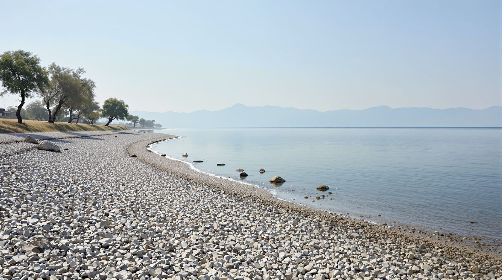
File photo · Chris Gallimore / Unsplash
Lake Kinneret fell 6.0 centimeters this week, reaching -213.470 meters below sea level on 2026-09-17, according to Israel Water Authority data.
The lake now stands 4.67 meters from full capacity, defined by the upper red line at 208.80 meters below sea level. It is currently below the lower red line of 213 meters, the level at which salinity rises and the ecosystem begins to suffer.
Over the past 30 days the level has moved down 30.0 centimeters, from -213.170 meters on 2026-08-18.
Against the same point twelve months ago, when the lake stood at -212.940 meters, the level is down 53.0 centimeters.
For the same week in recent years, the level stood at -212.98 m in 2025, -210.78 m in 2024, -211.22 m in 2023, -209.90 m in 2022, -210.24 m in 2021.
Where this sits in the record
The series published by the Israel Water Authority on the national open-data portal runs from 1966-09-01 to 2026-09-17, 11,334 readings in all. The highest level in it is -208.20 meters, recorded on 1969-01-27; the lowest is -214.87 meters, on 2001-11-25. Today's reading sits between them, 0.47 meters below the lower red line.
What the red lines mean
Israel manages the Kinneret between two administrative thresholds. The upper red line, 208.80 meters below sea level, is the point at which the lake is considered full and the Degania dam is opened to prevent flooding around the shore. The lower red line, 213 meters below sea level, is the point below which pumping is restricted: salinity from the saline springs on the lake bed rises as the volume of fresh water above them falls, and the ecosystem deteriorates. Neither line is a natural feature. Both are policy.
The full daily series, with charts back to 1966, is on the Israel.com Kinneret water level tracker, and the raw dataset is published by the Water Authority through data.gov.il.
Sources and further reading
Every link below was opened and checked when this page was written. Official statements are marked as such: they are the subject's own account, not an independent one.
- OfficialIsrael Water Authority via data.gov.ildata.gov.ilKinneret water level, daily readings
- OfficialIsrael.comisrael.comKinneret water level tracker
How we checked this
Every figure in this report is computed in code from the Israel Water Authority's daily Kinneret series as published on data.gov.il, read on 2026-09-20. No number here is estimated, and none was written by AI: an AI model polished the sentences around the figures, and the arithmetic was done in code.
The account of the incident itself rests on the official statement and has not been independently confirmed by Israel.com. Where the statement is silent, this page says so rather than filling the gap.
Our sourcing and corrections policy →The week from Israel, in one email
The stories that mattered, sourced and checked by the Israel.com newsroom. Free, weekly, one-click unsubscribe.
One list, unsubscribe in a click. See our privacy policy.
More in Environment
All environment →

Latest
- Israel says strikes in Gaza killed a Nukhba commander and two October 7 attackers
- Trump cuts short Camp David weekend, returns to White House early
- UAE official disputes report that bin Zayed warned Netanyahu before October 7
- All three barred outlets expected to challenge ban in court
- IDF says Khan Younis strike killed Hamas commander Muhammad Suleiman Byouk
- Herzog erases Elor Azaria's criminal record on eve of Yom Kippur