Kinneret holds at -213.735 m, still 0.74 m below the lower red line
The lake did not move this week, but it remains beneath the 213-meter threshold and 4.94 meters short of full, with the level down 36.0 centimeters on the year.

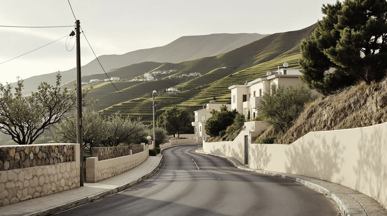
צילום ארכיון של הנושא, לא צולם באירועים האלה. · Nick Karvounis / Unsplash
הכתבה המלאה עדיין לא נכתבה בעברית, ולכן היא מובאת כאן באנגלית.
Lake Kinneret held steady this week, reaching -213.735 meters below sea level on 2026-11-19, according to Israel Water Authority data.
The lake now stands 4.94 meters from full capacity, defined by the upper red line at 208.80 meters below sea level. It is currently below the lower red line of 213 meters, the level at which salinity rises and the ecosystem begins to suffer.
Over the past 30 days the level has moved down 3.0 centimeters, from -213.705 meters on 2026-10-20.
Against the same point twelve months ago, when the lake stood at -213.375 meters, the level is down 36.0 centimeters.
For the same week in recent years, the level stood at -213.41 m in 2025, -211.25 m in 2024, -211.53 m in 2023, -210.40 m in 2022, -210.65 m in 2021.
השבוע בישראל בחמש ידיעות, בכל יום שישי
מקורות ובדיקה של מערכת Israel.com, עם זמני השבת. חינם, ואפשר להפסיק בלחיצה אחת.
רשימה אחת, הסרה בלחיצה. הפרטים במדיניות הפרטיות שלנו.
Where this sits in the record
The series published by the Israel Water Authority on the national open-data portal runs from 1966-09-01 to 2026-11-19, 11,395 readings in all. The highest level in it is -208.20 meters, recorded on 1969-01-27; the lowest is -214.87 meters, on 2001-11-25. Today's reading sits between them, 0.74 meters below the lower red line.
What the red lines mean
Israel manages the Kinneret between two administrative thresholds. The upper red line, 208.80 meters below sea level, is the point at which the lake is considered full and the Degania dam is opened to prevent flooding around the shore. The lower red line, 213 meters below sea level, is the point below which pumping is restricted: salinity from the saline springs on the lake bed rises as the volume of fresh water above them falls, and the ecosystem deteriorates. Neither line is a natural feature. Both are policy.
The full daily series, with charts back to 1966, is on the Israel.com Kinneret water level tracker, and the raw dataset is published by the Water Authority through data.gov.il.
להמשך קריאה
למדור סביבה →צילום ארכיון · Nick Karvounis / Unsplash
סביבה
מפלס הכנרת ירד ב-2.0 ס"מ ועומד על -213.735 מטר, 0.74 מטר מתחת לקו האדום התחתון

צילום ארכיון
פוליטיקה
הליכוד פרסם את תנאיו להקמת ממשלת אחדות לאומית עם נתניהו

איור
ביטחון
בחריין: תקיפה איראנית פגעה במתקן תעשייתי, משמרות המהפכה טוענים שתקפו בסיסים אמריקניים

צילום ארכיון
בחירות
תושב תל אביב בשנות השלושים לחייו נעצר בחשד שאיים ברשת על נפתלי בנט

מקורות וקריאה נוספת
פתחנו ובדקנו כל קישור כאן בזמן כתיבת העמוד. הודעות רשמיות מסומנות ככאלה: זו הגרסה של הגורם עצמו, לא גרסה עצמאית.
- רשמיIsrael Water Authority via data.gov.ildata.gov.ilKinneret water level, daily readings
- רשמיIsrael.comisrael.comKinneret water level tracker
איך בדקנו את זה
Every figure in this report is computed in code from the Israel Water Authority's daily Kinneret series as published on data.gov.il, read on 2026-11-22. No number here is estimated, and none was written by AI: an AI model polished the sentences around the figures, and the arithmetic was done in code.
מדיניות המקורות והתיקונים שלנו →
השבוע בישראל, במייל אחד
הכתבות החשובות, עם מקורות ואחרי בדיקה של מערכת Israel.com. חינם, פעם בשבוע, ואפשר להפסיק בלחיצה אחת.
רשימה אחת, הסרה בלחיצה. הפרטים במדיניות הפרטיות שלנו.

Israel.com נשאר חינמי בזכות קוראים כמוך.
מערכת החדשות של Israel.com בודקת כל ידיעה מול המקורות שלה ומפרסמת אותה בחינם. אם הידיעה עזרה לך, תמיכה בכל סכום שומרת גם את הבאה חינמית.
תשלום אחד, בלי הרשמה. סכום אחרתמיכה חודשית
הכתבות האחרונות

צילום ארכיון

צילום ארכיון
איור
איור
איור
איור