
Archaeological site · The Galilee
Montfort Castle
The Teutonic Order bought this spur above Nahal Kziv from the de Milly family in 1220 and moved its archive and treasury here in 1229, out of reach of the Templars and Hospitallers in Acre.
Bought by the Teutonic Order
1220
from the French de Milly family, who had farmed the estate since soon after the First Crusade
Headquarters, archive and treasury
1229 to 1271
moved up from Acre, and gone again forty-two years later when Baibars took the keep
Debris shifted in 1926
4,500 tons
by the Metropolitan Museum expedition that exposed most of what is standing today
Height above sea level
271 m
burgenwelt.org's figure for the ruin, on a spur above the southern bank of Nahal Kziv
In short
- How long to give it
- about 90 minutes on the spur itself, and half a day for the round trip on foot from Goren Park: KKL-JNF publishes no distance or time for the descent and climb, only that the climb is taxing
- Goren Park and the Montfort lookout
- KKL-JNF publishes no opening or closing times. The park is open ground off Route 899, with an information booth and a recreation area at the entrance
- Goren Park, the recreation area and the lookout
- Free. KKL-JNF publishes no admission price in shekels or otherwise for the park, its car parks, its picnic ground or the Montfort observation point
מבצר מונפור · قلعة القرين
Montfort is a ruined Crusader castle on a spur above the southern bank of Nahal Kziv in Upper Galilee, and it was the principal fortress in the Holy Land of the Teutonic Order, the German military order founded in Acre at the end of the twelfth century. It stands roughly 13 kilometres from Nahariya and about 10 miles south of the Lebanese border, and there is no road to it.
It was not built to hold a frontier. The estate was farmland, bought from the de Milly family in 1220, and the order fortified it because it needed somewhere isolated for its archive and treasury, away from the Templars and Hospitallers, who in Acre had designs on absorbing it. Baibars failed to take the place in 1266, came back in person in 1271, and had it demolished over twelve days once the garrison had marched out under terms.
Nothing here has been rebuilt. The castle has lain in ruins since 1271, and what a visitor walks through is masonry that survived the slighting and was then dug out: mostly by the Metropolitan Museum of Art's expedition of 1926, which shifted 4,500 tons of debris looking for thirteenth-century armour, and since 2011 by Adrian Boas's team from the University of Haifa.
The site
One way in, and every defence pointed at it
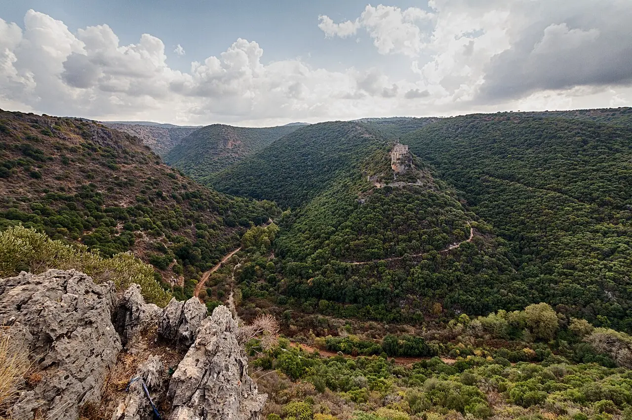
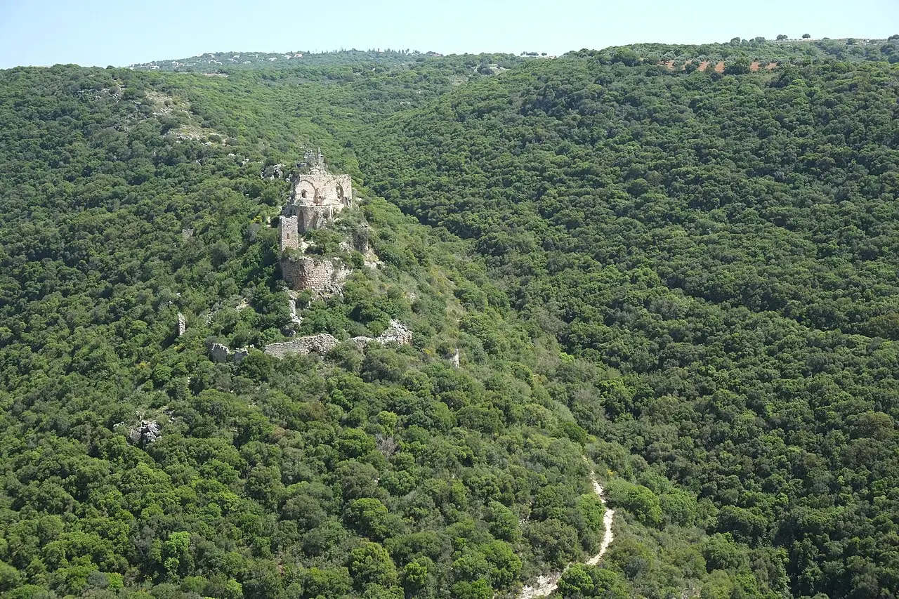
A spur, in the topographic sense, is a narrow ridge projecting from a larger hill, and Montfort is a spur castle. The ground falls away on three sides into the gorge of Nahal Kziv, and burgenwelt.org puts the ruin at 271 metres above sea level. The only approach that is not a climb is from the east, where the spur joins the hillside.
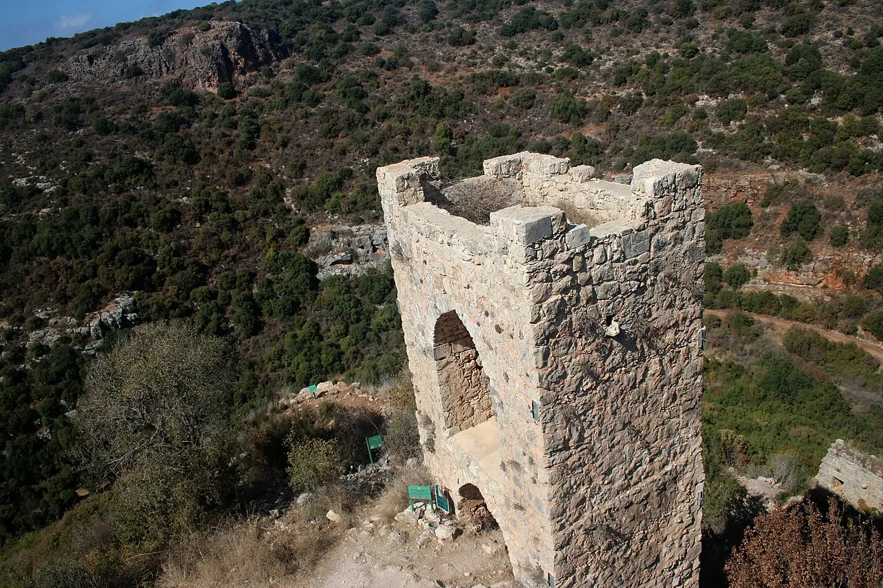
That is where the defences are. Two ditches were cut straight through the rock of the spur, and behind them stands a D-shaped tower-keep, the first part of the castle to be built and the part covering the highest and most exposed ground. Burgenwelt gives the tower as 25 by 21 metres and records ashlar blocks in the masonry measuring 150 by 90 by 90 centimetres.
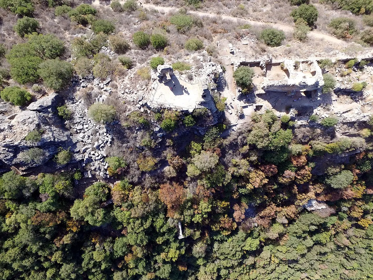
Everything else is strung out west of the keep along the crest, because the crest is all there is. An elongated two-storey building, the main domestic range, runs from the keep towards a three-storey administrative block at the lower western end, and a small vaulted structure, now badly ruined, closes the western tip. The way in was at that far end, through a three-storey gate tower built as a half tower.
The outer ward lies about 50 metres down the northern slope, marked by a wall that curves up the western slope and stops south-west of the castle. By the end of the 2016 season the excavators had found no trace of it continuing south of the castle, and the outer works may never have been finished. Adrian Boas puts the speed of the castle's fall in 1271 down to that and to the weakness of the position.
- Two dry ditches cut through the rock at the eastern end
- The D-shaped tower-keep, 25 by 21 metres, built first
- The elongated two-storey domestic range along the crest
- The three-storey administrative block, with two tall vaulted halls still standing at ground level
- The half-tower gate at the western end, three storeys and well preserved
- The outer ward and its wall, about 50 metres down the northern slope
Ofery / CC BY-SA 4.0 · Wikimedia Commons
The order
A treasury moved out of town, and the money that paid for it
The estate was farmland long before it was a castle. The French de Milly family took it soon after the First Crusade, and it passed to Muslim hands with Jerusalem after Saladin won at Hattin in 1187. Neither side thought it worth much: a farm above a stream well inland, near no border and no main road. What changed its value was the loss of Jerusalem. After the Third Crusade the capital moved to Acre, and this spur was suddenly about eight miles from the seat of government.
The Teutonic Order bought the land in 1220 and started renovating the farm buildings. The motive was internal politics, not strategy: the order had been founded in Acre in the late twelfth century and was under pressure there from the Templars and the Hospitallers, who wanted to absorb it. Boas told Haaretz that the purpose of building the castle seems to have been to move some of the order's administration, such as the archives and perhaps the treasury, from Acre to a more isolated location.
Turning a farm into a castle took outside money. Grand Master Hermann von Salza applied to Pope Gregory IX and got it, in contributions gathered from pilgrims and donors in Europe. Burgenwelt's history adds two specifics: an annual grant of 100 bezants settled on the works by Bohemond of Antioch from 1228, and a ten-year indulgence from Gregory in 1230 remitting a seventh of church penance to anyone who gave.
When the building was finished is not agreed. Wikipedia's infobox gives 1228 to 1240 with further work in the 1260s; burgenwelt dates the start to 1229, the year von Salza first mentions the works in writing, and calls the castle likely complete by 1240; KKL-JNF's page for Goren Park, where the walk starts, says 1226. For all that expense the Grand Master seems hardly ever to have used the place. Boas told Haaretz he was probably very rarely in residence, perhaps once or twice, and that there is very little on record.
1266 and 1271
Baibars came twice, and the sources disagree about the second time
In 1266 an army under two of Baibars' emirs besieged Montfort. The defenders held and the Mamluk force eventually withdrew. That siege was known only from medieval texts until 2019, when the excavation reported the first physical evidence of it: a layer of destruction debris attributed to the 1266 campaign.
The second attempt was different. By 1271 most of the Crusader strongholds had already fallen, and Baibars came himself, with several military engineering units. On Rabei Khamisy's reading of the Mamluk sources, published in Boas's 2017 volume on the castle, the rabad or faubourg fell after about three days, the bashura or outer bailey the day after that, and the German defenders still holding out in the keep surrendered on the fifteenth day.
Burgenwelt tells it differently: a siege of seven days ending in capitulation on 12 June 1271, after the collapse of the western wall. The two accounts agree on the year and the outcome and not on the length or the mechanism, and neither addresses the other. The settlement is not in dispute. Terms had been negotiated in advance, the garrison left with all its belongings and walked back to Acre, and the Mamluks then demolished the castle over twelve days.
Why it fell so fast is an open question with named positions on both sides. Boas points to the weakness of the position and the unfinished outer works. Nicholas Morton of Nottingham Trent University adds Baibars' pillaging of the order's estates and the morale of a garrison that had watched three more military order castles fall the same year.
One warning about dates on the ground: KKL-JNF's page for Goren Park says Baybars destroyed the castle in 1231, forty years before the siege every other source describes. The operator is reliable on the trail and not on the chronology.
OObner / CC BY-SA 3.0 · Wikimedia Commons
On the ground
What stands is what 1926 dug out, not what anyone rebuilt
This is the rare Crusader site in Israel where the question of what is original and what is reconstruction has a short answer: nothing has been put back. The castle has lain in ruins since 1271, in the Montfort Castle Project's own phrase, and the standing masonry is what survived twelve days of deliberate demolition and centuries of collapse on top of it.
It became visible because of an unusual expedition. Horatio Kitchener surveyed the ruin in 1877 for the British Survey of Western Palestine. Then in 1926 Bashford Dean, curator of Arms and Armour at the Metropolitan Museum of Art in New York, organised a dig here with William L. Calver in charge on site; the project's own account says the aim was to recover a suit of thirteenth-century armour. It removed 4,500 tons of debris and exposed almost the whole central part of the castle.
Modern work began with survey rather than spade. Adrian Boas ran two seasons in 2006 and 2007 for the Zinman Institute of Archaeology at the University of Haifa, funded by the Israel Science Foundation, recording the upper ward, the lower fortifications, the mill in Nahal Kziv and the masons' marks, with aerial photogrammetry, 3-D laser scanning and a conservation assessment. Excavation followed in August 2011 under licence G-72/2011 and has run most summers since.
The 2011 season settled the shape of the western block: three storeys, with a basement of two barrel vaults, the Great Hall above it carrying an octagonal pier and pilasters, and what Boas reads as the castellan's quarters above that. The dig produced limestone vault ribs in two sizes bearing masons' marks, a monolith pier base, painted plaster and stained glass. Two tall vaulted halls still stand at ground level.
The walls carry the sieges as well as the building. A dividing wall in the hall was dated to repairs made before 1271, after damage caused either by the earthquake of 1259 or by the first siege in 1266, and the excavators could not choose between the two. On the north wall of the central wing, the 2012 and 2013 seasons exposed evidence of undermining, apparently Mamluk work during the siege of 1271.
Ofery / CC BY-SA 4.0 · Wikimedia Commons
The finds
Nine Men's Morris, grisaille glass and turtle bones
The plan of Montfort is interesting; the rubbish is more so. What the excavations have turned up, reported season by season in Haaretz by Philippe Bohstrom, is a brotherhood living better than the word monastic suggests.
In January 2017 the dig published a Nine Men's Morris board with its playing pieces, a large quantity of glass vessels, and the bones of European pigs, turtles, deer, sheep and cattle. Alongside those came gilded furnishings, stained glass windows, frescoed walls and sculptural decoration, and from the working end of the castle chain mail and scale armour fragments, thirteenth-century coins, belt buckles and tunic buttons, iron forge slag, and a bone workshop turning out buttons and crossbow nuts.
In November 2018 came the largest single discovery of the modern project: a previously unknown Gothic hall beneath the castle, decorated with grisaille stained glass, which Boas suggested may have been where the order's Grand Chapter met. A year later the destruction debris from 1266 gave those luxuries a date to sit before. The stables in the outer ward, dug in 2014 and 2015, produced flagged flooring, roof beams on double arches, horseshoes, mangers and coins.
Getting in
Down one side of the gorge and up the other
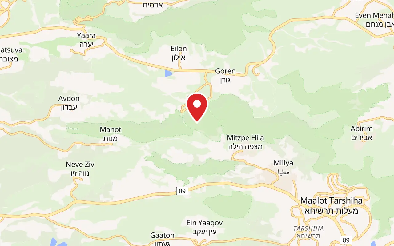
There is no road to Montfort and no car park at the castle. The usual approach starts at Goren Park, on the far, northern side of the canyon, off Route 899 between kilometre markers 11 and 12. KKL-JNF established the park in 1963 over some 2,000 dunams and calls it the first large park in the country made up entirely of native Israeli common oak woodland.
From the Scenic Lookout recreation area, a disabled-accessible path runs to the observation point over the castle. That view across the gorge is the photograph everyone has seen of Montfort, and for a good share of visitors it is the entire visit, which is a reasonable choice honestly made. The castle is on the other side of the canyon.
To reach it, take the red-marked footpath from the lookout. It drops into Nahal Kziv, crosses the stream and then climbs a steep dirt path straight up to the fortress; KKL calls the climb taxing, and the return is the same way. Near the riverbed are a water-driven flour mill, which KKL dates to the twelfth century, and a Crusader dam. Denys Pringle's gazetteer records the mill's upper floor being converted into a guesthouse in the thirteenth century.
The stream is what makes the walk pleasant rather than merely steep. Nahal Kziv runs 39 kilometres and is classed as perennial, although Wikipedia's account notes that pumping by Mekorot at Ein Ziv leaves the reach between Ein Ziv and Ein Tamir effectively intermittent, with dependable year-round flow resuming below Ein Tamir.
It is also where Israel put its Persian fallow deer back into the wild. Breeding at the Carmel Hai-Bar, from three animals brought from Germany in 1976 and four from Iran in 1978, had produced around 150 deer by the mid-1990s. Releases into Nahal Kziv began in 1996, and by early 2002 some 120 had gone out and 40 fawns had been born in the field.
- Scenic trail: about 8 km among the cliffs of Nahal Kziv
- Path across the park: 1.5 km, red-marked, north to south, with 1.4 km back on the main scenic route
- Sinkhole Path: a 500 m circular route through karst hollows
- Montfort footpath: red-marked, down into the gorge, across the stream and steeply up
- Accessible path: from the recreation area to the Montfort observation point
Doron lerner / CC BY-SA 3.0 · Wikimedia Commons
What to look for
Things not to walk past at Montfort Castle
The details that repay knowing about before you are standing in front of them.
The D-shaped keep and its two ditches
The first part built and the part that mattered, standing over the only approach that is not a climb. Two ditches were cut clean through the rock of the spur in front of it, and burgenwelt gives the tower itself as 25 by 21 metres.
The two vaulted halls at ground level
The lowest storey of the three-storey administrative block at the western end, and still roofed. Above them stood the Great Hall with its octagonal pier, and above that what Boas reads as the castellan's quarters.
The half-tower gate
The main entrance was a three-storey gate tower built as a half tower, and it is one of the better preserved elements on the spur. From it a wall ran west and curved south to meet the castle at its western tip.
Masons' marks on the vault ribs
The 2011 season recovered finely cut limestone vault ribs in two sizes, several carrying masons' marks. They are the signatures of the men who cut the stone, and the reason the excavators can tell one building campaign from another.
The mill and the dam in the riverbed
On the valley floor below the castle are a water-driven flour mill and a Crusader dam. Pringle's gazetteer records the mill's upper floor being converted into a guesthouse in the thirteenth century, which makes it the only Crusader lodging in the gorge.
The lookout at Goren Park
The observation point on the northern rim gives the view of the castle on its spur that everything else is photographed from, and a disabled-accessible path leads to it from the recreation area.
The long view
Montfort Castle, in order
after 1099
The French de Milly family receive the estate and farm it. Nobody fortifies it: it is inland, above a stream, away from any border or main road.
1187
Saladin's victory at Hattin puts the property in Muslim hands with the rest of the kingdom. It stays as unimportant as before.
1220
The de Milly family, restored to the land after the Third Crusade, sell it to the Teutonic Order, which begins renovating the farm buildings.
1228
Bohemond of Antioch settles an annual grant of 100 bezants on the works, on burgenwelt.org's account.
1229
The Teutonic Order installs its headquarters, archive and treasury on the spur, out of reach of the Templars and Hospitallers in Acre.
1230
Pope Gregory IX issues a ten-year indulgence remitting a seventh of church penance to anyone contributing to the building.
1240
Burgenwelt takes the castle to be substantially complete by about now; Wikipedia's infobox gives 1228 to 1240 with more work in the 1260s.
1259 or 1266
Major damage, repaired before 1271. The excavators date a dividing wall to the repair but cannot say whether the damage was the 1259 earthquake or the first siege.
1266
Two of Baibars' emirs besiege the castle and are eventually forced to withdraw. Destruction debris from this campaign was identified on site in 2019.
1268
The order's holding around the castle is down from roughly fifty villages to about ten, on burgenwelt's figures.
1271
Baibars besieges the castle in person with engineering units. The faubourg falls after about three days and the outer bailey the next; the keep surrenders on the fifteenth day by Khamisy's reading of the Mamluk sources, or on 12 June after seven days on burgenwelt's. The garrison marches out to Acre with its belongings under prior terms, and the Mamluks spend twelve days demolishing the castle.
1291
Acre falls. The Teutonic Knights move their headquarters to Venice.
1877
Horatio Kitchener surveys the ruin for the British Survey of Western Palestine.
1926
Bashford Dean of the Metropolitan Museum of Art organises an expedition, headed on site by William L. Calver, in search of a suit of thirteenth-century armour. It shifts 4,500 tons of debris and exposes almost the whole central part of the castle.
1963
KKL-JNF establishes Goren Park across the gorge, some 2,000 dunams of native oak woodland, with the lookout the castle is now usually seen from.
1996
Persian fallow deer bred at the Carmel Hai-Bar begin to be released into Nahal Kziv, about a dozen at a time into an enclosed acclimatisation area.
2006 to 2007
Adrian Boas surveys the castle for the Zinman Institute of Archaeology at the University of Haifa, with aerial photogrammetry, 3-D laser scanning and a conservation assessment.
2011
Excavation begins under licence G-72/2011, in the Great Hall and on the outer wall, and continues most summers since.
2017
A Nine Men's Morris board, glass vessels and the remains of a well-supplied dining room are published.
2018
A previously unknown Gothic hall with grisaille stained glass is found beneath the castle, possibly the meeting place of the order's Grand Chapter.
2019
The first physical evidence of the 1266 Mamluk siege is identified, until then known only from medieval sources.
Practical
Visiting Montfort Castle
Where
Montfort Castle, on the southern spur above Nahal Kziv, Upper Galilee. The usual trailhead is Goren Park, off Route 899 (the Northern Road) between kilometre markers 11 and 12, near Kibbutz Eilon.
What ticket you need
The castle stands inside the Nahal Kziv nature reserve and is listed among Israel's national parks, but no ticket is attached to either. The viewpoint, the car park and the trailhead are in KKL-JNF's Goren Park, which is a separate body from the Israel Nature and Parks Authority, and the ruin at the bottom of the walk is unstaffed. In practice one organisation maintains the ground you arrive on and nobody is on duty at the thing you came to see.
Opening hours
- Goren Park and the Montfort lookout
- KKL-JNF publishes no opening or closing times. The park is open ground off Route 899, with an information booth and a recreation area at the entrancesource
- The castle itself
- No gate, no staff and no published hours. It is an unfenced ruin reached only on foot, so the practical limit is daylight: the route crosses the stream and climbs a steep unlit dirt pathsource
- Staying overnight
- Only at the Goren Park campsite, north and east of the recreation area, and only by arrangement in advance. KKL-JNF gives its Western Galilee office as 04-9950118 or 04-9950102source
- Excavation seasons
- The University of Haifa dig has run most summers since 2011, usually between July and September. Parts of the castle can be under excavation when you arrivesource
Admission
- Goren Park, the recreation area and the lookout
- Free. KKL-JNF publishes no admission price in shekels or otherwise for the park, its car parks, its picnic ground or the Montfort observation pointsource
- Montfort Castle
- Free. There is no ticket office on the spur and no operator publishes a price for the ruin: it is an unstaffed site inside the Nahal Kziv nature reservesource
- Camping at Goren
- No fee is published. KKL-JNF states only that overnight stays are permitted at the campsite alone and must be registered in advance on 04-9950118 or 04-9950102source
Access
Split in two, and the split is worth understanding before setting off. The lookout is accessible: KKL-JNF states that a disabled-accessible path leads from the Scenic Lookout recreation area to the observation point over the castle, and the recreation area has parking, tables, water and toilets. The castle is not, and there is no way to make it so. The only route is the red-marked footpath, which drops into the gorge, crosses Nahal Kziv on the streambed and then climbs a steep dirt path directly to the fortress; KKL-JNF's own word for the climb is taxing. Wheelchairs and pushchairs cannot do it, and the return is by the same route. On the spur the ground is uneven fallen masonry with unguarded drops and unlit vaults, and neither KKL-JNF nor the excavation publishes an accessibility statement for the ruin itself.
On site
- Information booth at the Goren Park entrance
- Car parking off Route 899
- Picnic tables and drinking water
- Toilets at the Scenic Lookout recreation area
- Accessible path to the Montfort observation point
- Open-air theatre for events
- Campsite, by prior registration only
- Marked trails from 500 m to about 8 km
- Nothing at all at the castle: no water, no shade, no toilets, no shop
Booking
Nothing is booked and nothing is ticketed. The one thing that does need arranging is camping: overnight stays are allowed only at the Goren Park campsite and only with KKL-JNF's Western Galilee office, on 04-9950118 or 04-9950102. Coach groups should note that the walk to the castle is not a coach-friendly stop; the lookout is.
Hours and prices are given as the operator publishes them and change without much notice, particularly around Shabbat and the festivals. Check the operator's own page before you travel for this.
Official page at kkl-jnf.org →What people wish they had known
- The lookout is not the castle. Goren Park's accessible observation point gives the classic view from the northern rim, and plenty of people arrive believing they can drive to the ruin from there. The castle is on the opposite side of the gorge and the only way over is down and up on foot.
- Carry water and expect no shade at the top. There is nothing on the spur: no tap, no toilet, no kiosk. KKL-JNF's own description of the park's oak, Quercus calliprinos, is that it grows multiple trunks and often takes the aspect of a low bush rather than a tree, which is exactly as much shade as it sounds like.
- Do not take the dates on the trailhead signage as read. The KKL-JNF page for Goren Park dates the castle to 1226 and says Baybars destroyed it in 1231, forty years before the siege described by every other source. The park's information about the walk is sound; its chronology is not.
- Stop at the riverbed on the way through. A water-driven flour mill and a Crusader dam sit near the stream at the bottom of the descent, and the mill had a guesthouse on its upper floor in the thirteenth century. Most walkers cross the water head-down and go straight up the far bank.
- Look for the turning by kilometre marker, not by the castle's name. The access road leaves Route 899, the Northern Road, between markers 11 and 12 near Kibbutz Eilon, and it is signposted for Goren Park.
- If the plan is the walk rather than the view, treat it as half a day. Neither KKL-JNF nor the excavation publishes a time for the round trip, and the descent and re-ascent of a gorge in the middle of the day in summer is a different proposition from the twenty minutes it takes to reach the lookout.
The figures
Montfort Castle by the numbers
Each figure carries the year it belongs to and links the source it came from.
| Measure | Figure | As of | Source |
|---|---|---|---|
| Bought from the de Milly family | 1220 | 1220 | en.wikipedia.org |
| Height above sea level | 271 m | 2026 | burgenwelt.org |
| The D-shaped front tower | 25 by 21 m | 2026 | burgenwelt.org |
| Largest ashlar blocks recorded in the masonry | 150 by 90 by 90 cm | 2026 | burgenwelt.org |
| Days the keep held out in 1271 | fifteen, on Khamisy's reading of the Mamluk sources; seven on burgenwelt's | 1271 | en.wikipedia.org |
| Days the Mamluks spent demolishing it | twelve | 1271 | en.wikipedia.org |
| Debris removed by the 1926 Metropolitan Museum expedition | 4,500 tons | 1926 | adrianjboas.wixsite.com |
| Goren Park, the trailhead | about 2,000 dunams, established 1963 | 2026 | kkl-jnf.org |
While you are here
The rest of The Galilee
Everything else in this destination with a page of its own.
ארז אשכנזי / CC BY-SA 4.0 · Wikimedia Commons
Neighbourhood
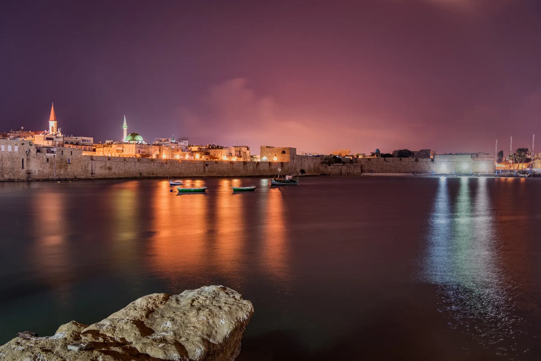
Akko Old City
The Ottoman port town inside the walls stands roughly eight metres above the Crusader city it was built on, and one ticket of ₪55 opens six of the sites inside, including the Hospitaller Fortress and the Templars Tunnel.
Natalinasser / CC BY-SA 4.0 · Wikimedia Commons
Nature reserve
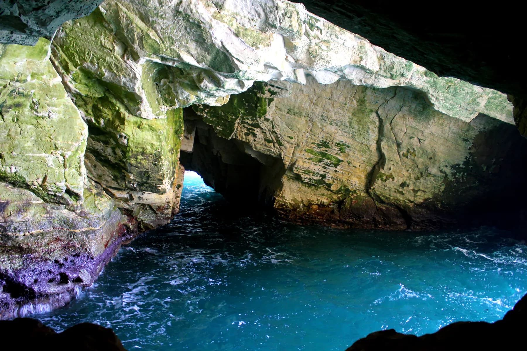
Rosh Hanikra Grottoes
The sea cut these caves out of soft chalk at the top of Israel's coast, and until a 400 metre tunnel was driven through the ridge in 1968 the only way into them was to swim.
זולטן קלוגר - לעמ / Public domain · Wikimedia Commons
Neighbourhood
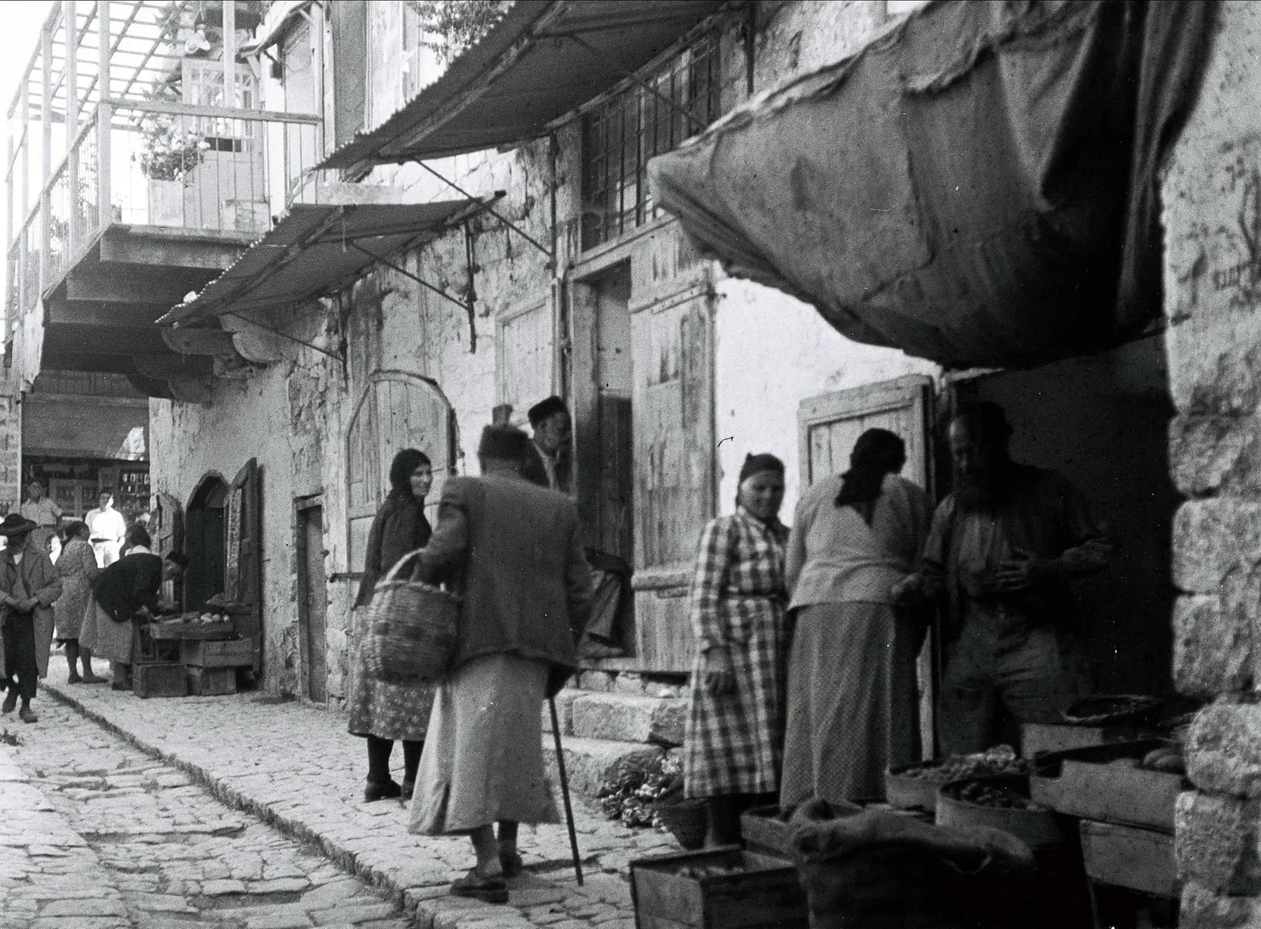
Safed Old City and Artists' Quarter
The synagogue quarter and the artists' quarter sit on one slope, divided by a broad flight of stairs the British Mandate authorities cut through the town to keep two populations apart.
Sources and further reading
Every link below was opened and checked when this page was written. Official statements are marked as such: they are the subject's own account, not an independent one.
- OfficialKKL-JNFkkl-jnf.orgGoren Park
The operator of the trailhead and the lookout. The park established 1963 over some 2,000 dunams of native Israeli common oak woodland; Quercus calliprinos growing as a low bush; the entrance off Route 899 between kilometre markers 11 and 12; the information booth, recreation area, tables, water, toilets, open-air theatre and campsite with the Western Galilee office numbers 04-9950118 and 04-9950102; the disabled-accessible path to the Montfort observation point; the red-marked footpath down into Nahal Kziv, across the stream and steeply up to the castle, described as taxing; the flour mill and Crusader dam by the riverbed; the eight-kilometre scenic trail, the 1.5 km path across the park with 1.4 km back, and the 500 m Sinkhole Path. Also the source of the castle dates 1226 and 1231, which no other source supports
- OfficialMontfort Castle Project, University of Haifaadrianjboas.wixsite.comMontfort Castle Project: excavations
The project's own season-by-season account: the 1926 Metropolitan Museum expedition removing 4,500 tons of debris and almost entirely exposing the central part of the castle; 2011 in the Great Hall; April 2012 on the outer fortifications and outer ward; 2012 and 2013 on the north wall of the central wing, with evidence of Mamluk undermining during the 1271 siege; 2014 and 2015 in the stables, with flag flooring, roof beams on double arches, horseshoes, mangers and coins; July to August 2016 on the southern outer fortifications and a round tower
- OfficialAdrian Boas, Zinman Institute of Archaeology, University of Haifaadrianjboas.wixsite.comMontfort Castle Project
The project's statement of itself: research, conservation and development, established 2006 by University of Haifa researchers, sponsored by the Zinman Institute and the Society for the Study of the Crusades and the Latin East; the castle having lain in ruins since 1271; the 1926 expedition mounted with the aim of recovering a suit of thirteenth-century armour; Kitchener's 1877 survey
- ReportingHaaretzhaaretz.comBoard Game and Luxuries Discovered in Crusader Castle in the Galilee
Philippe Bohstrom, 11 January 2017. The Nine Men's Morris board and pieces; the quantity of glass vessels; bones of European pigs, turtles, deer, sheep and cattle; gilded furnishings, stained glass, frescoed walls and sculptural decoration; chain mail and scale armour fragments, thirteenth-century coins, belt buckles, tunic buttons, forge slag and a bone workshop making buttons and crossbow nuts; Boas quoted on moving the archives and treasury out of Acre and on the Grand Master being very rarely in residence
- ReportingHaaretzhaaretz.comMassive Ceremonial Hall Discovered Under Crusader Castle in Northern Israel
Philippe Bohstrom, 22 November 2018. The previously unknown Gothic hall beneath the castle with grisaille-decorated stained glass, possibly used by the Teutonic Order's Grand Chapter for ceremonial meetings, found during Adrian Boas's renewed exploration; the comparative comfort of the German knights' life
- ReportingHaaretzhaaretz.comMassive Mamluk Destruction Found at Crusader Castle in Israel
Philippe Bohstrom, 25 November 2019. The debris layer attributed to Baibars' 1266 campaign, described as the first solid evidence of a siege that had been known only from medieval sources, from Boas's excavation for the University of Haifa
- ReferenceWikipediaen.wikipedia.orgMontfort Castle
Names in Hebrew, Arabic and German and the mont fort etymology; 22 miles north-east of Haifa, 10 miles south of the Lebanese border, 13 km from Nahariya; the de Milly estate, Saladin in 1187, the 1220 sale and the move of archives and treasury away from Templar and Hospitaller pressure in Acre; construction 1228-1240 and the 1260s; the 1266 and 1271 sieges with Khamisy's three-day faubourg, next-day outer bailey and fifteenth-day surrender, the negotiated withdrawal to Acre and the twelve-day demolition; Boas and Nicholas Morton on why it fell; the spur-castle plan, ditches, D-shaped keep, domestic range, administrative block, gate tower, zwingers and outer ward 50 metres down the slope; Kitchener 1877, Bashford Dean and William L. Calver in 1926, Boas from 2011 and Royal Holloway in 2015 and 2016; the mill and guesthouse, Tarphile and Castellum Regis
- ReferenceHadashot Arkheologiyot, Israel Antiquities Authorityhadashot.iaa.org.ilThe Montfort Castle, 2011
The excavation report itself. Adrian Boas of the Zinman Institute of Archaeology, University of Haifa, licence G-72/2011, August to September 2011, with the Society for the Study of the Crusades and the Latin East; Area A in the ceremonial hall and Area B on the outer fortification wall; the three storeys of the western wing, the two barrel vaults, the Great Hall with its octagonal pier and pilasters; vault ribs in two sizes with masons' marks, the monolith pier base with three round pilasters, painted plaster and stained glass, thirteenth-century glazed pottery; wall W1 dated to repairs before 1271 after damage from either the 1259 earthquake or the 1266 siege
- ReferenceHadashot Arkheologiyot, Israel Antiquities Authorityhadashot.iaa.org.ilThe Montfort Castle, a New Survey
Boas's 2006 and 2007 survey seasons for the Zinman Institute, funded by Israel Science Foundation grant 1161/06: the upper ward previously dug by the Metropolitan Museum in 1926, the lower fortifications, the mill and guesthouse in Nahal Kziv, masonry techniques and masons' marks; aerial photogrammetry, 3-D laser scanning and a conservation assessment; the 2007 coverage from the western curtain wall and north-west gate tower through the double vaults, western hall and central range to the keep and the moats
- Referenceburgenwelt.orgburgenwelt.orgBurg Montfort | Burg Starkenberg: Historie
The German castle-research site's history and building record: the 1220 acquisition, the first written mention of the works by Hermann von Salza in 1229 and completion likely by 1240; Bohemond of Antioch's 100 bezants a year from 1228 and Gregory IX's ten-year indulgence of 1230 remitting a seventh of church penance; headquarters from 1230; the holding down from about fifty villages to about ten by 1268; 271 metres above sea level; the horseshoe-shaped front tower at 25 by 21 metres and ashlars of 150 by 90 by 90 centimetres; the 1266 repulse and the 1271 capitulation on 12 June after seven days and the collapse of the western wall, with demolition three weeks later
- ReferenceWikipediaen.wikipedia.orgNahal Kziv
The stream at 39 kilometres, classed as perennial but with the reach between Ein Ziv and Ein Tamir intermittent in practice because of Mekorot's pumping, and year-round flow below Ein Tamir; the four springs Ein Ziv, Ein Tamir, Ein Hardalit and Ein Yakim; the nature reserve containing Montfort; oleander, oriental plane, ferns and white lilies; Persian fallow deer reintroduced from 1996, golden jackals, wolves, wild boar and striped hyenas
- ReferenceWikipediaen.wikipedia.orgPersian fallow deer
The Carmel Hai-Bar breeding programme from three pure-blood animals from Germany in 1976 and four brought from Iran in 1978, reaching about 150 animals; releases into Nahal Kziv in the Western Galilee beginning in 1996, about a dozen at a time into an enclosed acclimatisation area; about 120 released and 40 fawns born in the field by early 2002, then roughly six a year
Montfort Castle: common questions
Can you go inside Montfort Castle?+
Yes, and there is no gate, no ticket and nobody to ask. The ruin is unfenced and unstaffed, and two tall vaulted halls at the western end are still roofed, so parts of it are genuinely enclosed. The ground is uneven fallen masonry with unguarded drops, and there is no lighting inside the vaults.
How long is the walk to Montfort Castle?+
Neither KKL-JNF nor the excavation publishes a distance or a time, so treat the round trip as half a day rather than an hour. The red-marked path from the Goren Park lookout drops into Nahal Kziv, crosses the stream and then climbs a steep dirt path straight up to the castle, and KKL-JNF's own word for that climb is taxing. The return is by the same route, which means doing the descent again in reverse.
Is there an entrance fee for Montfort Castle?+
No. KKL-JNF publishes no admission price for Goren Park, its car parks, its picnic ground or the Montfort observation point, and there is no ticket office at the castle itself. The one thing that has to be arranged is overnight camping, which is allowed only at the Goren Park campsite and only by prior registration on 04-9950118 or 04-9950102.
Can you drive to Montfort Castle?+
No. There is no road to the castle and no car park at it. You drive to Goren Park, off Route 899 between kilometre markers 11 and 12, and walk from there, first down into the gorge of Nahal Kziv and then up the far side.
Is Montfort Castle wheelchair accessible?+
The viewpoint is and the castle is not. KKL-JNF states that a disabled-accessible path runs from the Scenic Lookout recreation area to the observation point over the castle, and the recreation area itself has parking, tables, water and toilets. The route to the ruin crosses a streambed and climbs a steep dirt path, which no wheelchair or pushchair will manage.
What was Montfort Castle actually for?+
It was built to hold the Teutonic Order's archive and treasury away from Acre, not to defend a frontier. The order had been founded in Acre in the late twelfth century and was under pressure there from the Templars and the Hospitallers, who wanted to absorb it; moving the records and the money to an isolated spur in the hills solved that problem. Headquarters, archive and treasury were installed here in 1229.
Who destroyed Montfort Castle, and when?+
The Mamluk sultan Baibars, in 1271. He had failed to take it in 1266, came back in person with engineering units, and after the outer defences fell the German garrison in the keep surrendered under terms already negotiated, marching out to Acre with its belongings. The Mamluks then spent twelve days demolishing what they had captured. The sources differ over the length of that final siege: fifteen days on Rabei Khamisy's reading of the Mamluk chronicles, seven days ending on 12 June on burgenwelt.org's account.
Has any of Montfort been reconstructed?+
No, which is unusual for a Crusader site in Israel. The castle has lain in ruins since 1271 and nothing has been put back up. What stands is masonry that survived the Mamluk demolition and was then dug out of the collapse, largely by the Metropolitan Museum of Art's 1926 expedition, which shifted 4,500 tons of debris and exposed almost the whole central part of the castle.
Is Montfort Castle worth the walk?+
It depends what you want from it. For a ruined castle in a wooded gorge with no ticket, no crowd control and no reconstruction, it is one of the most rewarding half days in the Western Galilee, and the setting does most of the work. If steep ground is a problem, the honest answer is that the Goren Park lookout gives the view that appears in every photograph of the place and costs twenty minutes on a level path.
Is there water in Nahal Kziv when you cross it?+
Usually, but not evenly along its length. Nahal Kziv runs 39 kilometres and is classed as a perennial stream, although Wikipedia's account notes that pumping by Mekorot at Ein Ziv leaves the reach between Ein Ziv and Ein Tamir intermittent in practice, with dependable year-round flow resuming below Ein Tamir. Winter and spring are when the gorge is at its best, with oleander, plane trees and ferns along the water.