Neighbourhood · The Galilee
Safed Old City and Artists' Quarter
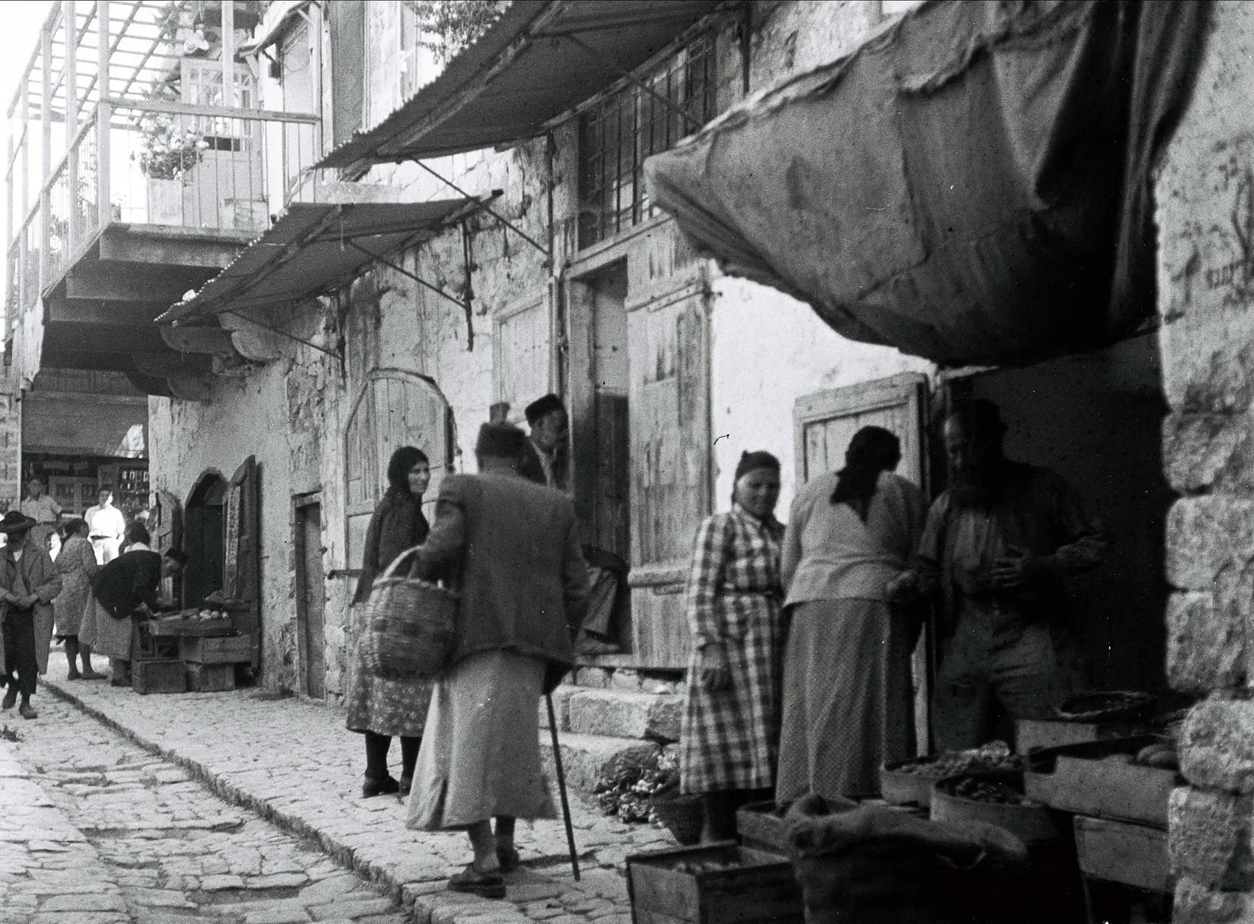
The synagogue quarter and the artists' quarter sit on one slope, divided by a broad flight of stairs the British Mandate authorities cut through the town to keep two populations apart.
זולטן קלוגר - לעמ / Public domain · Wikimedia Commons
Elevation
up to 937 m
which is why the streets are stairs and why it snows in winter
Hebrew printing press
1577
Britannica calls it the first in Asia to use movable type
Synagogues lost in one afternoon
all 14
the Galilee earthquake of 1 January 1837
Artists' quarter founded
1948
seven painters and sculptors, in the emptied lower quarter
In short
- How long to give it
- about three hours for the synagogue quarter and the galleries, or half a day with the citadel hill and the cemetery
- The alleys, the staircase and the citadel park
- Open at all hours. This is a lived-in quarter of a working town, not a ticketed site, and there is no gate to close.
- Old city and artists' quarter
- No charge. Both quarters are public streets and no operator sells a ticket to them.
העיר העתיקה של צפת
Safed's old city is the upper end of a hill town in Upper Galilee, small enough to cross on foot in fifteen minutes, and it holds two quarters that grew for entirely different reasons and now share the same stepped alleys. Above sits the synagogue quarter, where the men who turned Kabbalah from a private study into a system taught and prayed in the sixteenth century. Below it sits the artists' quarter, a colony of galleries founded in 1948 in houses their previous residents had left during the war. Wikipedia gives the city an elevation of up to 937 metres and an annual rainfall of 682 millimetres, which explains both the staircases and the fact that it snows.
The line between the two quarters is not a metaphor. Ma'alot Olei HaGardom, the wide stone staircase that runs down the middle of the old city, was cut by the British Mandate authorities as a security barrier between the Jewish and Arab neighbourhoods of the town. It is now the main pedestrian spine, and a visitor crossing from a barrel-vaulted synagogue to a print studio is walking over a partition line that was still doing its job in the 1940s.
One thing worth knowing before arriving: almost nothing standing here is as old as the events it commemorates. The town was ruined by an earthquake in 1759 and destroyed by another on 1 January 1837, which levelled all fourteen of its synagogues. What a visitor walks through is a nineteenth-century rebuild on a sixteenth-century street plan, with a handful of genuinely old fragments inside it, and the pages that follow try to be precise about which is which.
The ground
A town where the roof of one house was the street of the next
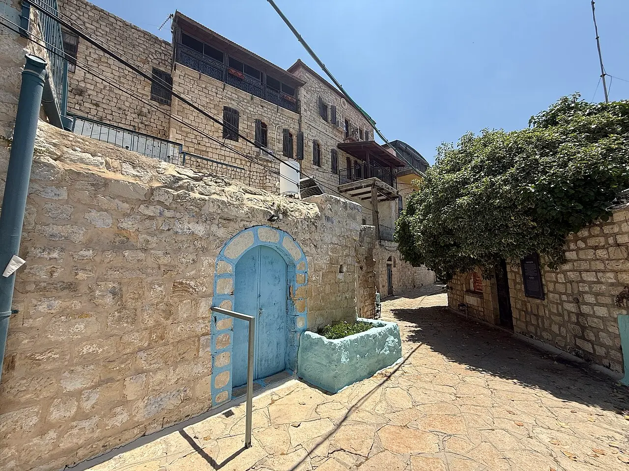
The old city occupies the steep western and southern flanks below the citadel hill, and the gradient governs everything. Houses were built stacked down the slope so tightly that, in the account of the 1837 earthquake, the roofs of the houses below served as the streets for the ones above. That is a useful image for what a visitor is walking on: the lanes are not laid out on flat ground with buildings on either side, they are terraces threaded between rooflines, and the drop from the synagogue quarter to the galleries below is a matter of a few dozen steps rather than a few streets.
Orientation is simpler than it looks from a map. Ma'alot Olei HaGardom runs down the spine. East and above it is the synagogue quarter, a compact grid of alleys named for the men who taught in them, including Simtat Beit Yosef, named for Joseph Karo's legal work. West and below it is the artists' quarter, occupying what was the Mamluk-era neighbourhood of Harat al-Watta, the lower quarter. The citadel hill rises above both, a public park now, with the Crusader and Mamluk fortress remains under it.
Almost none of this is drivable. The alleys are stepped, narrow and largely closed to cars, and the practical approach is to park at the edge and walk in. At roughly 900 metres the weather is a real variable rather than a footnote: Safed is cold and wet in winter, occasionally snowed on, and pleasantly cooler than the Sea of Galilee an hour below it in summer.
שלמה רודד / CC BY 2.5 · Wikimedia Commons
The golden age
The century in which a hill town rewrote Jewish law and cosmology
Safed's importance is compressed into roughly seventy years. Jewish settlement had revived under Mamluk rule, with about 300 families recorded by 1481 on the Jewish Virtual Library's account, and the expulsion from Spain in 1492 sent scholars east who found in an obscure Galilee hill town a place with cheap houses, a textile trade and no established rabbinic hierarchy to argue with. By 1548 Ottoman tax registers counted about 1,900 taxpaying families in the town, 716 of them Jewish.
Joseph Karo arrived from Bulgaria in 1536 and taught roughly 200 students. His Shulchan Aruch became, and remains, the standard code of Jewish law. Moses Cordovero built the first systematic philosophical account of Kabbalah. Solomon Alkabetz wrote Lekha Dodi, the hymn to greet the Sabbath that is still sung weekly in synagogues that have never heard of Safed. Isaac Luria, known by the acronym the Ari, arrived in 1570 and died in 1572, and in those two years produced the cosmology that reshaped Jewish mysticism, most of it transmitted by his students rather than written down by him.
The town also acquired the machinery to export what it thought. Britannica and Wikipedia both date the Hebrew printing press here to 1577, set up by Eliezer ben Isaac Ashkenazi of Prague and his son Isaac, and describe it as the first press in Asia to use movable type. The Jewish Virtual Library gives 1563 and credits the Ashkenazi brothers. The two accounts have not been reconciled and this page does not pretend otherwise; what is not in dispute is that the press existed here in the sixteenth century and that nothing comparable was operating further east.
Hebrew Wikipedia counts twenty-one synagogues in the town at the height of that period. The ones a visitor can enter today are the survivors of a much denser religious geography, and their names are the names of the teachers: Abuhav, Ari Ashkenazi, Ari Sephardi, Karo, Alsheich.
- Joseph Karo, arrived 1536, author of the Shulchan Aruch
- Moses Cordovero, the first systematic philosopher of Kabbalah
- Solomon Alkabetz, who wrote Lekha Dodi
- Isaac Luria, the Ari, in Safed from 1570 until his death in 1572
- The Hebrew press, dated 1577 by Britannica and 1563 by the Jewish Virtual Library
Rebuilt
One south wall, and a great deal of nineteenth-century masonry
Two earthquakes decide what a visitor sees. The Near East earthquakes of 1759 left the town in ruins and killed 200 residents. Then on 1 January 1837, at about four in the afternoon, a shock followed five minutes later by a second one destroyed Safed outright. Estimates of its size run from 6.25 to 6.5 on one scale and 7.0 to 7.1 on another, and the regional death toll is put at 6,000 to 7,000. Survivors were still being pulled out of the rubble six and seven days later; a temporary hospital was not set up until 19 January.
The toll inside Safed itself is genuinely uncertain. English Wikipedia says the earthquake killed about half of the town's 4,000-strong Jewish community and destroyed all fourteen of its synagogues. The Jewish Virtual Library reports roughly 5,000 deaths, 4,000 of them Jews. Hebrew Wikipedia gives about 2,000. Anyone who tells a visitor a single confident number is choosing one account over two others.
The Abuhav Synagogue is the exception that proves what happened. Tradition holds that the building was designed by the Castilian kabbalist Isaac Abuhav and put up by his disciples around the 1490s. In 1837 only its southern wall, the one carrying the three Torah arks, was left standing, and it is still there; everything around it is a rebuild. Locals attributed the wall's survival to the sanctity of the scroll inside, which is traditionally ascribed to Abuhav himself and is taken out only on Rosh Hashanah, Yom Kippur and Shavuot.
The pattern repeats elsewhere. The Ari Ashkenazi Synagogue, completed in the late sixteenth century some years after Luria's death, was destroyed in 1837 and rebuilt about twenty years afterwards. Joseph Karo's building, which functioned as a study hall rather than a synagogue in his lifetime, was destroyed by the 1759 earthquake, rebuilt more modestly at ground level, wrecked again in 1837, and took ten years to restore with money from Isaac Guetta of Italy; a marble plaque over the entrance records that rebuilding. The street plan is old. Most of the stone is not.
Unknown author / CC BY 2.5 · Wikimedia Commons
The galleries
A colony founded in 1948 in houses that had just emptied
The artists' quarter is younger than the state and its founding is inseparable from the war. Safed fell to Jewish forces in the second week of May 1948 during Operation Yiftach, and its Arab population, between 12,000 and 15,000 people by Wikipedia's account, left. Britannica dates the capture to 12 May and Wikipedia to 11 May or earlier, a one-day discrepancy that has never been fully settled. What followed is documented: seven artists moved into the restored ruins of Harat al-Watta and made a quarter of it.
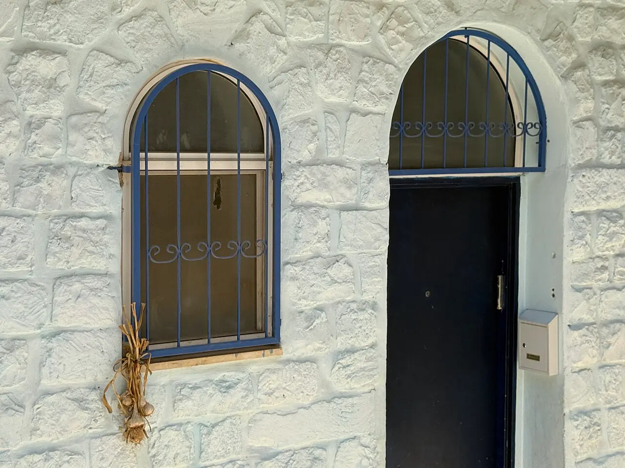
The founders were Shimshon Holtzman, Arieh Lerner and his wife Hanna, Arieh Merzer, Yitzhak Frenkel Frenel, Moshe Castel and Menachem Shemi, encouraged by Moshe Fedatzur, the town's first mayor after the war. Several of them had trained in Paris, and the quarter's distinguishing character in Israeli art was its link to the School of Paris rather than to the harder-edged local modernism of the coast. A club called Mlo'ah met on Friday afternoons, and artists are recorded trading paintings for meals.
From the 1950s the General Exhibition, a selected show of work by resident artists, was housed in the old market mosque, which is the single most telling building in the quarter: a Muslim prayer hall turned into a Jewish artists' gallery within a few years of the town changing hands. Beit Castel stands at the entrance to the quarter.
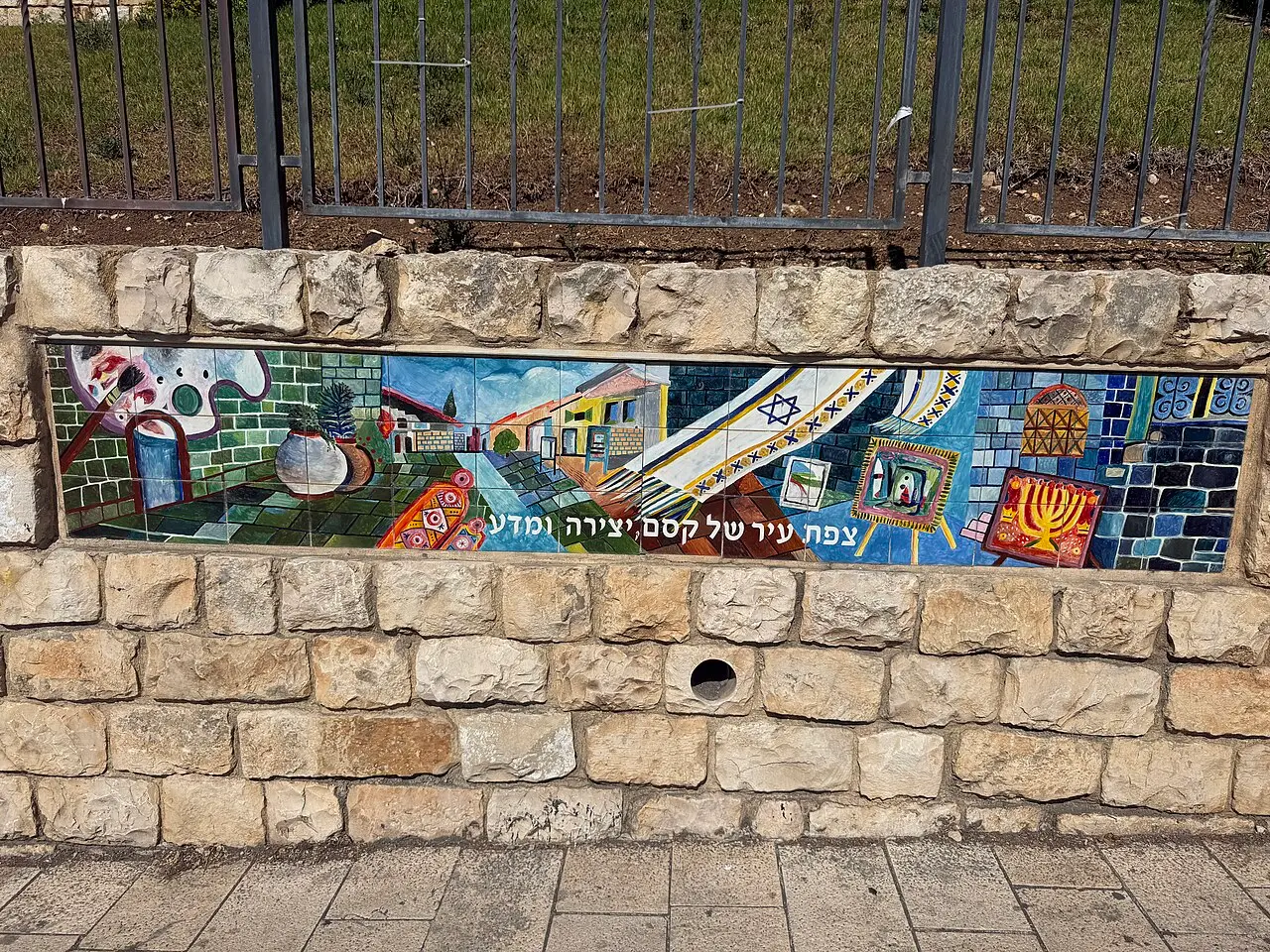
The quarter is past its peak and says so. Hebrew Wikipedia dates the decline from the 1970s, as the founding generation died, artistic fashion moved on and the neighbourhood's population changed, with growing Haredi settlement in the same lanes. What a visitor finds today is a mix: a small number of serious working studios, a larger number of Judaica and souvenir shops, and several galleries that open when their owner feels like it. Going in the expectation of a curated museum quarter is the commonest way to be disappointed here.
שלמה רודד / CC BY 2.5 · Wikimedia Commons
Above and around
The fortress hill, the Red Mosque and the staircase between quarters
The hill above the old city carries the remains of the fortress that made Safed worth fighting over. English Wikipedia dates a large Crusader fortress here to 1168 and puts the remains of King Fulk's earlier castle under the citadel excavations; Hebrew Wikipedia dates the first Crusader work to 1102 and 1103, rebuilt in the thirteenth century by the Templars, and describes a compound of roughly 40 dunams with walls 28 metres high and seven towers. The dates do not agree and neither source resolves the other. Saladin took the place in 1188, and the Mamluk sultan Baybars took it in 1266: Britannica says he destroyed the citadel, Wikipedia that the Mamluks rebuilt and reinforced it in 1268. The hill is now a public park with a view over the whole of Upper Galilee.
Two Muslim buildings survive in and near the old city and are easy to walk past. The Red Mosque was built by Baybars in 1275. The Saraya was put up as an Ottoman caravanserai in the mid-1700s. Neither is a working mosque now, and both are part of the same continuous settlement history as the synagogues below them.
Ma'alot Olei HaGardom repays a moment's attention rather than being treated as a set of steps to get up. The British Mandate authorities built the staircase deliberately wide, as a firebreak and boundary between the Jewish and Arab quarters, after a history that included the 1929 riots, in which 22 Jewish residents of Safed were killed and the Jewish quarter looted and burned. The old Jewish cemetery lies further down the slope below the artists' quarter, and holds the graves traditionally identified as those of Luria, Karo, Cordovero and Alkabetz.
The whole ensemble is small. A visitor who walks the synagogue lanes, crosses the staircase, works through the galleries and climbs to the citadel park has covered the entire old city and perhaps two kilometres of ground, most of it vertical.
- The citadel park, on the hill above both quarters
- The Red Mosque, built by Baybars in 1275
- The Saraya, an Ottoman caravanserai of the mid-1700s
- Ma'alot Olei HaGardom, the Mandate-built dividing staircase
- The old cemetery, below the artists' quarter
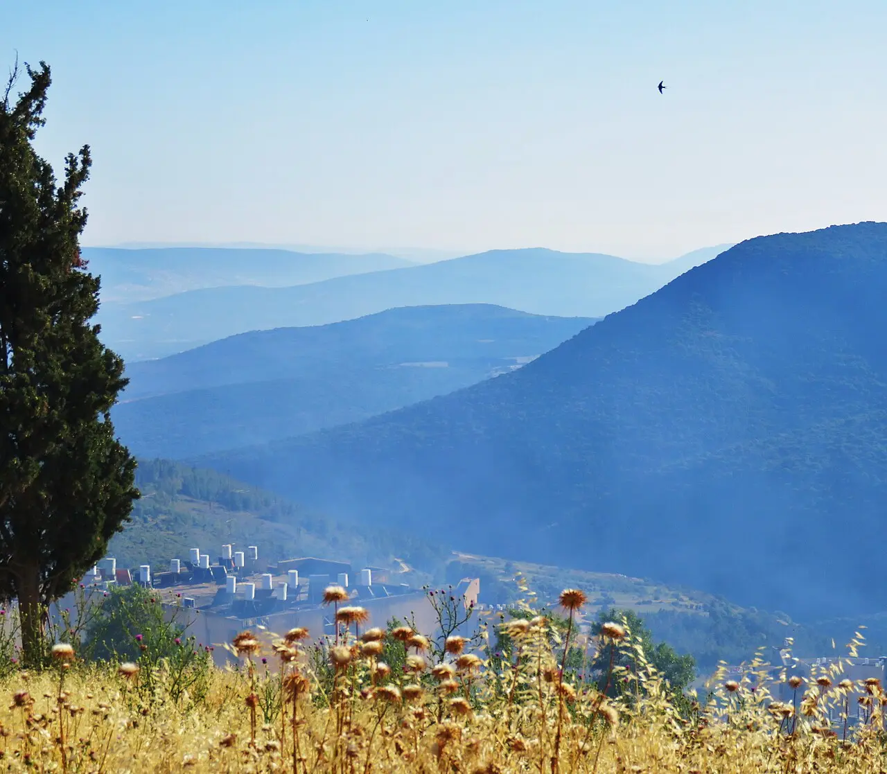
ישראל פוגל / CC BY 2.5 · Wikimedia Commons
What to look for
Things not to walk past at Safed Old City and Artists' Quarter
The details that repay knowing about before you are standing in front of them.
The south wall of the Abuhav Synagogue
The one substantial piece of the building that the 1837 earthquake left upright, carrying three Torah arks facing Jerusalem. The scroll in the right-hand ark is traditionally ascribed to Isaac Abuhav and is brought out only three times a year.
The olive-wood ark in the Ari Ashkenazi Synagogue
Carved by a craftsman from Galicia in the style of eastern European synagogues, with a lion worked into it for Luria's acronym. The building around it dates from a rebuild about twenty years after 1837.
Joseph Karo's study hall and the chamber beneath it
The room where the author of the Shulchan Aruch taught roughly 200 students, restored over ten years after 1837 with money from Isaac Guetta of Italy. The small vaulted space below is pointed out as the Cave of the Maggid.
The General Exhibition in the old market mosque
A selected show of work by the quarter's resident artists, housed since the 1950s in the mosque that served the market. It is the clearest physical statement of what happened to this neighbourhood in 1948.
Ma'alot Olei HaGardom
The wide staircase down the middle of the old city, built by the British as a barrier between the Jewish and Arab quarters. It is now simply the route between the synagogues and the galleries.
The citadel hill
A park on the summit above the old city, over the remains of the Crusader and Mamluk fortress. It gives the only view that makes the layout of the two quarters legible from above.
The long view
Safed Old City and Artists' Quarter, in order
66-70 CE
Safed first appears in the record, at the time of the Jewish revolt against Rome; Josephus mentions the fortified town of Sepph.
1168
The Crusaders build a large fortress on the hill above the town, over an earlier castle attributed to King Fulk of Anjou.
1188
Saladin takes Safed.
1266
The Mamluk sultan Baybars takes the town; Britannica says he destroyed the citadel, Wikipedia that the Mamluks rebuilt it in 1268.
1481
About 300 Jewish families are recorded in Safed under Mamluk rule.
1492
The expulsion from Spain begins the movement of scholars that turns Safed into a centre of Kabbalah.
1516
The Ottomans take the Galilee.
1536
Joseph Karo arrives from Bulgaria and begins teaching.
1548
Ottoman tax registers count about 1,900 taxpaying families in the town, 716 of them Jewish.
1570-1572
Isaac Luria, the Ari, lives and teaches in Safed until his death.
1577
A Hebrew printing press is set up by Eliezer ben Isaac Ashkenazi and his son; Britannica calls it the first in Asia to use movable type.
1759
The Near East earthquakes leave the town in ruins and kill 200 residents.
1 January 1837
The Galilee earthquake destroys Safed and all fourteen of its synagogues; local death tolls given by different sources range from about 2,000 to about 5,000.
1929
Twenty-two Jewish residents are killed and the Jewish quarter is looted and burned during the riots.
May 1948
Jewish forces take the town in Operation Yiftach; Britannica dates the capture to 12 May, Wikipedia to 11 May. Between 12,000 and 15,000 Arab residents leave.
1948
Seven artists found the artists' quarter in the restored ruins of Harat al-Watta, the lower quarter.
1950s
The General Exhibition of resident artists opens in the old market mosque.
1970s onwards
The artists' quarter declines as its founders die, tastes change and the neighbourhood's population shifts.
Practical
Visiting Safed Old City and Artists' Quarter
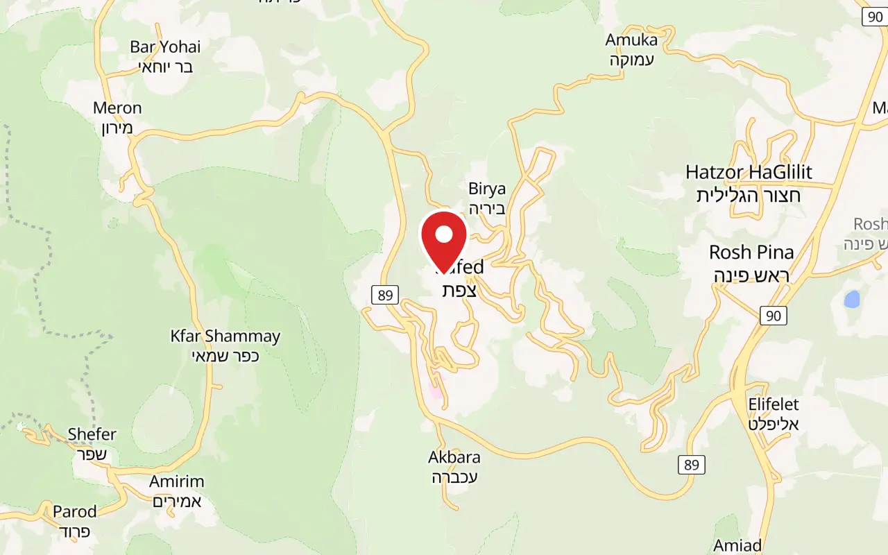
Where
Old City of Safed, Upper Galilee
What ticket you need
The old city is not inside a ticketed park and needs no entrance ticket. The only paid attractions in the quarter are private: individual museums, workshops and galleries, each charging its own price.
Opening hours
- The alleys, the staircase and the citadel park
- Open at all hours. This is a lived-in quarter of a working town, not a ticketed site, and there is no gate to close.
- The historic synagogues
- Working synagogues with no single published timetable. They are places of prayer first and shut to visitors over Shabbat, from Friday afternoon to Saturday night, and on festivals.
- Galleries in the artists' quarter
- Individually owned and individually run, so hours vary shop by shop. Most close on Friday afternoon and stay closed on Saturday.
- Tzfat tourist information centre
- No opening hours are published on the centre's own page; it lists a telephone number, 972-4-6924427, and describes maps, guidebooks, wall panels and a ten-minute audio-visual introduction to the town.source
Admission
- Old city and artists' quarter
- No charge. Both quarters are public streets and no operator sells a ticket to them.
- The historic synagogues
- No published admission price. They are in daily use for prayer and are entered as such rather than as museums.
- Galleries
- Free to walk into. The work on the walls is for sale, and prices are set by each artist.
Access
Poor, and honestly so. The old city is built down a steep slope at up to 937 metres, the lanes are stepped rather than ramped, and Ma'alot Olei HaGardom is a long flight of stairs rather than a street. A wheelchair cannot cover the route between the synagogue quarter and the artists' quarter, and several synagogue doorways are reached by steps from an alley with no alternative entrance. Visitors with limited mobility can drive to the upper edge of the old city and see part of the synagogue quarter on the flatter ground there.
On site
- Cafes and bakeries on the main lanes
- Public parking at the edge of the old city
- Tourist information centre
- Judaica and gallery shops
- No vehicle access inside the stepped alleys
Booking
Nothing here requires booking. Guided walks of the two quarters are sold by private guides rather than by a site operator, so there is no single official tour to reserve.
Hours and prices are given as the operator publishes them and change without much notice, particularly around Shabbat and the festivals. Check the operator's own page before you travel for this.
Official page at safed.co.il →What people wish they had known
- Do not come on Saturday. This is an observant town with a large Haredi community: the synagogues are closed to visitors, the galleries are shut, and the quarter that looked full of life on Thursday is a set of locked doors. Friday afternoon is already half closed.
- Do not drive in. The lanes are stepped and largely impassable to cars, and drivers who follow a navigation app into the old city end up reversing out of an alley. Park at the edge and walk.
- Dress for the synagogues rather than for the weather. Covered shoulders and knees, and a head covering for men, are expected in every one of the historic synagogues, and there is no shop at the door handing them out.
- Do not read the buildings as sixteenth century. Except for fragments such as the Abuhav south wall, what is standing is a nineteenth-century rebuild after the 1837 earthquake. The continuity here is in the street plan and the institutions, not the masonry.
- Bring a layer. At up to 937 metres Safed is markedly colder than the Sea of Galilee an hour away, wet from December to March and occasionally snowed on, and visitors arriving in summer clothes from Tiberias regularly regret it.
- Treat gallery opening hours as approximate. The quarter is a set of individually owned shops, several of which open when the owner arrives, so a specific gallery seen online may simply not be open when you reach the door.
The figures
Safed Old City and Artists' Quarter by the numbers
Each figure carries the year it belongs to and links the source it came from.
| Measure | Figure | As of | Source |
|---|---|---|---|
| City population | 38,687 | 2024 | en.wikipedia.org |
| Elevation of the city | up to 937 m | 2026 | en.wikipedia.org |
| Annual precipitation | 682 mm | 2026 | en.wikipedia.org |
| Taxpaying families in the town | about 1,900, of them 716 Jewish | 1548 | jewishvirtuallibrary.org |
| Synagogues destroyed by the earthquake | all 14 | 1837 | en.wikipedia.org |
| Regional deaths in the Galilee earthquake | 6,000 to 7,000 | 1837 | en.wikipedia.org |
| Jewish residents after the earthquake | 1,500 in 1839, down to 400 | 1845 | jewishvirtuallibrary.org |
| Founding artists of the quarter | 7 | 1948 | he.wikipedia.org |
While you are here
The rest of The Galilee
Everything else in this destination with a page of its own.
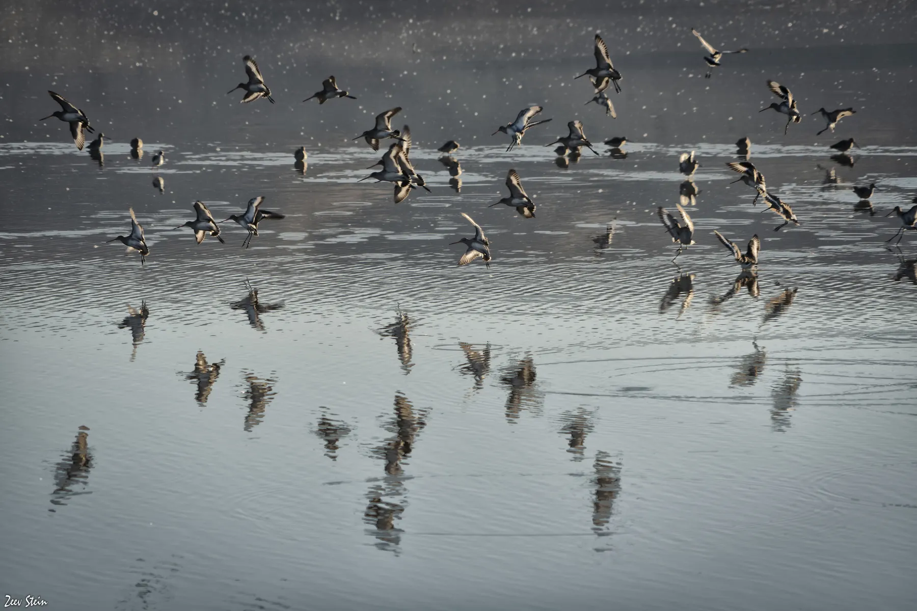
זאב שטיין / CC BY 2.5 · Wikimedia Commons
Nature reserve
Agamon Hula
A one square kilometre lake that KKL-JNF put back forty years after draining the valley, ringed by an 8.5 kilometre flat circuit and stocked every winter with 2 to 3 tonnes of maize a day to keep the cranes off the farmers' fields.
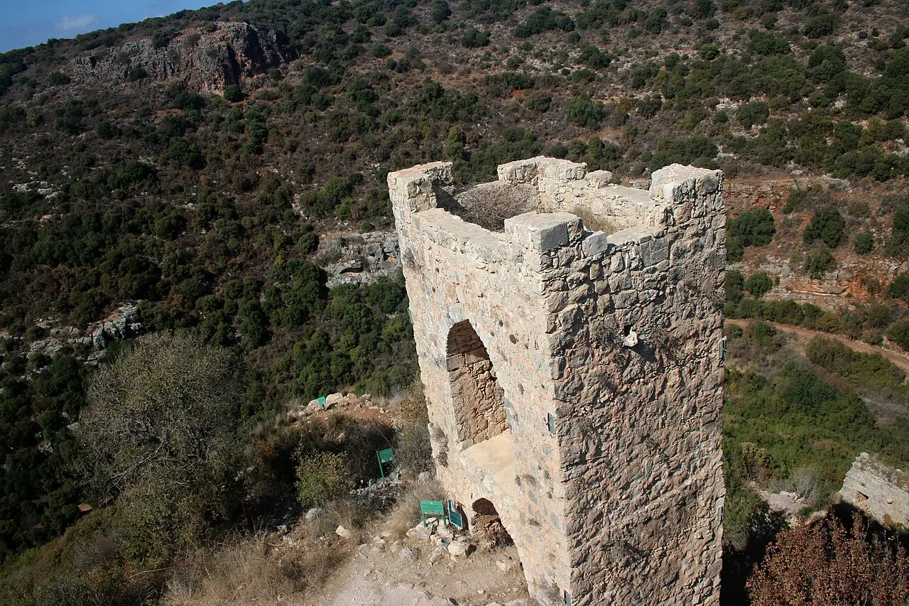
Ofery / CC BY-SA 4.0 · Wikimedia Commons
Archaeological site
Montfort Castle
The Teutonic Order bought this spur above Nahal Kziv from the de Milly family in 1220 and moved its archive and treasury here in 1229, out of reach of the Templars and Hospitallers in Acre.
שלמה רודד / CC BY 2.5 · Wikimedia Commons
Nature reserve
Tel Dan Nature Reserve
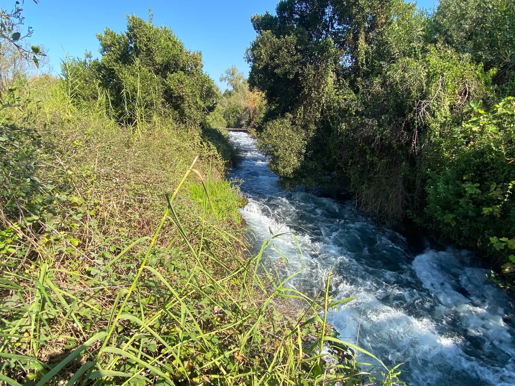
The largest of the Jordan River's three headwaters rises inside this 48 hectare reserve, and the trail that follows it ends at a mudbrick city gate of about 1750 BCE that still stands seven metres high.
Sources and further reading
Every link below was opened and checked when this page was written. Official statements are marked as such: they are the subject's own account, not an independent one.
- OfficialSafed.co.ilsafed.co.ilTzfat Tourist Information Center
the information centre's telephone number and what it offers, including the audio-visual introduction and the excavated mikve
- ReferenceEncyclopaedia Britannicabritannica.comZefat
the four holy cities, the sixteenth-century Kabbalah centre, the 1577 printing press and the 12 May 1948 capture
- ReferenceWikipediaen.wikipedia.orgSafed
elevation, rainfall, population, the 1759 and 1837 earthquakes, the 1929 riots, the citadel, the Red Mosque and the Saraya
- ReferenceJewish Virtual Libraryjewishvirtuallibrary.orgSafed
the 1481 and 1548 population figures, the printing press dated to 1563, and the earthquake death toll and its aftermath
- ReferenceWikipediaen.wikipedia.orgAbuhav Synagogue
the surviving southern wall, the four pillars and the Abuhav Torah scroll
- ReferenceHebrew Wikipediahe.wikipedia.orgבית הכנסת אבוהב
the three arks on the southern wall and the three festivals on which the Abuhav scroll is read
- ReferenceWikipediaen.wikipedia.orgAri Ashkenazi Synagogue
the late sixteenth-century date, the destruction in 1837 and rebuilding twenty years later, and the olive-wood ark
- ReferenceHebrew Wikipediahe.wikipedia.orgבית הכנסת יוסף קארו
Karo's arrival in 1536, the study hall and its 200 students, the 1759 and 1837 destructions and the rebuilding funded by Isaac Guetta
- ReferenceHebrew Wikipediahe.wikipedia.orgרובע האמנים בצפת
the 1948 founding, the seven founding artists, Harat al-Watta, the General Exhibition in the market mosque and the decline from the 1970s
- ReferenceHebrew Wikipediahe.wikipedia.orgצפת
the twenty-one synagogues of the golden age, the citadel dimensions, Ma'alot Olei HaGardom and an alternative earthquake death toll
- ReferenceWikipediaen.wikipedia.org1837 Galilee earthquake
the date and time, the magnitude estimates, the regional death toll and the account of how Safed's stacked houses collapsed
Safed Old City and Artists' Quarter: common questions
Is Safed's old city worth visiting?+
Yes, if the interest is in the history of Jewish mysticism, in a hill town that has been continuously inhabited for centuries, or in browsing small galleries. It is a modest place, physically: a compact grid of stepped alleys with half a dozen small synagogues in it, not a monumental site. Visitors expecting the scale of Akko or Jerusalem's Old City generally find it smaller than they pictured, and visitors who came for the atmosphere generally do not.
How much does it cost to visit Safed's old city?+
Nothing. The old city and the artists' quarter are public streets with no operator selling a ticket, and the historic synagogues publish no admission price, being working places of prayer rather than museums. The only charges in the quarter are private ones, at individual museums, workshops and galleries.
Can you visit Safed on Shabbat?+
You can walk the streets, but almost everything is shut. Safed has a large Haredi community, the synagogues close to visitors from Friday afternoon until Saturday night, and the galleries and shops follow. Sunday to Thursday is the practical window, with Friday morning as a shortened option.
How long do you need in Safed's old city?+
About three hours covers the synagogue quarter and a walk through the galleries at an unhurried pace. Half a day is enough to add the citadel park above the town and the old cemetery below the artists' quarter. It is a common half-day stop on a Galilee itinerary rather than a full-day destination.
Is Safed's old city wheelchair accessible?+
Largely not. The quarter is built down a steep hillside at up to 937 metres, the lanes are stepped rather than ramped, and Ma'alot Olei HaGardom, the main route between the two quarters, is a long staircase. Several synagogue entrances are reached by steps from an alley with no alternative door. Driving to the upper edge and seeing part of the synagogue quarter on flatter ground is the realistic option.
Which synagogues can you actually go into?+
The Abuhav, Ari Ashkenazi, Ari Sephardi, Joseph Karo and Alsheich synagogues are the ones normally open to visitors. All are working synagogues, so access depends on what is happening inside at the time, and none of them keeps a published timetable. Covered shoulders and knees are expected, and men are expected to cover their heads.
Are the synagogues really from the sixteenth century?+
The institutions are; most of the stone is not. The earthquake of 1 January 1837 destroyed all fourteen synagogues in the town. The Abuhav Synagogue's southern wall, carrying its three Torah arks, is the notable survivor; the Ari Ashkenazi was rebuilt about twenty years after the earthquake, and Joseph Karo's building took ten years to restore.
What is the artists' quarter and is it still active?+
It is a colony of galleries and studios founded in 1948 by seven artists in the emptied lower quarter of the old city, and it is active but well past its peak. Hebrew Wikipedia dates its decline from the 1970s, as the founding generation died and the neighbourhood changed. Expect a mixture of serious working studios, Judaica shops and souvenir stalls rather than a curated museum district.
Is there anything to see besides the synagogues and galleries?+
Yes. The citadel hill above the old city is a public park over the remains of the Crusader and Mamluk fortress, and gives the clearest view of how the two quarters sit on the slope. The Red Mosque, built by Baybars in 1275, and the Saraya, an Ottoman caravanserai of the mid-1700s, both survive, and the old Jewish cemetery below the artists' quarter holds the graves traditionally identified as those of Luria, Karo, Cordovero and Alkabetz.
Can you combine Safed with somewhere else in a day?+
Easily. Safed sits high above the Hula Valley, so Agamon Hula is a natural afternoon pairing in the crane season, and Tel Dan is about an hour north. Montfort Castle lies west across the Upper Galilee hills. Akko is roughly an hour and a half away and is a full day in itself, so pairing the two makes for a rushed visit to both.